
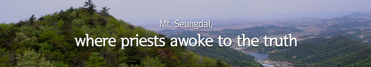
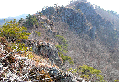
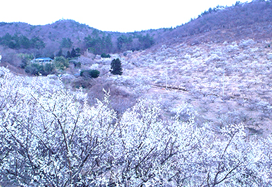
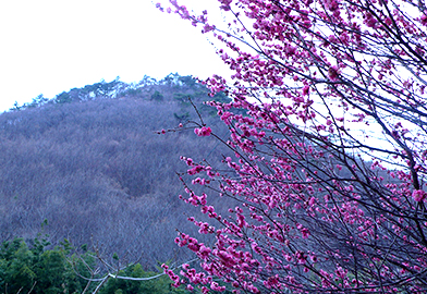
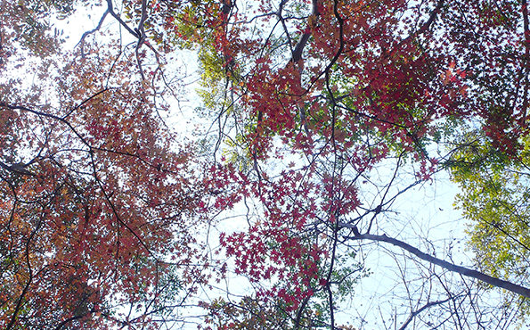
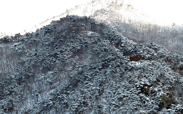
Mount Seungdal is a relatively low mountain with a height of just 333 m above sea level. From the top, the mountain provides an excellent view of the west coast, it is a famous mountain with warm breezes even during winter. In addition, there are also famous as 'orchid' habitat because the soil and climate conditions have optimal conditions for growing wild orchids.
When the rule of King Injong, Goryeo Dynasty, a priest Wonmyeong from the country of Won (Mongolia) had come to this mountain and expanded Buddhism greatly. The name Seungdal was said that 500 believers came to him and awoke to the truth. Thus, the name of the mountain became Seungdal (reach achievement).
According to the theory of divination based on topography, those who bury their ancestors on this mountain will become sages, high officials, or royalty. This is why there are so many graves in this mountain, compared to others and some even believe that is why there are three universities near this mountain.
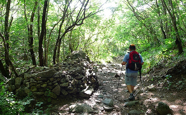
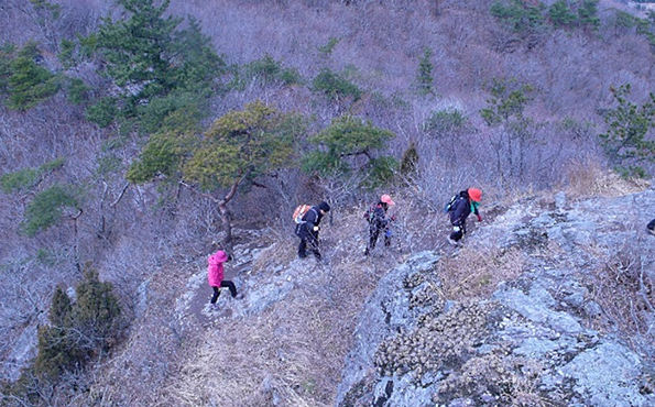
Hiking Course
The most popular hiking course of Mt. Seungdal is the return course, starting from the Mokpo University main entrance then on to Maebong ~ Gitbong ~ Chunjigol and back to the entrance of Mokpo University. Another popular course is passing by Harujae and trekking south to reach the peak, then descending along the west ridge to the Mokpo University campus.
You can start from Cheonggye 1-ri, Muan-gun and head to the east. After you go about four kilometers you will see the Gamdon Reservoir. From there, head to the north and pass the Wonryeong-dong Village. Then you will meet the Dalsan Reservoir. Head to the left and you will reach Beopcheonsa Temple. If you just want to take a walk instead of hiking, walk along the way behind Mokpo University and visit the Mokuam spring to quench your thirst.
Course
Address
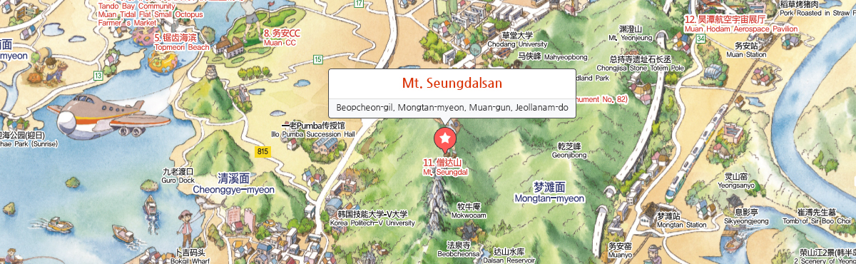
Beopcheon-gil, Mongtan-myeon, Muan-gun, Jeollanam-do